
Visitors welcome!
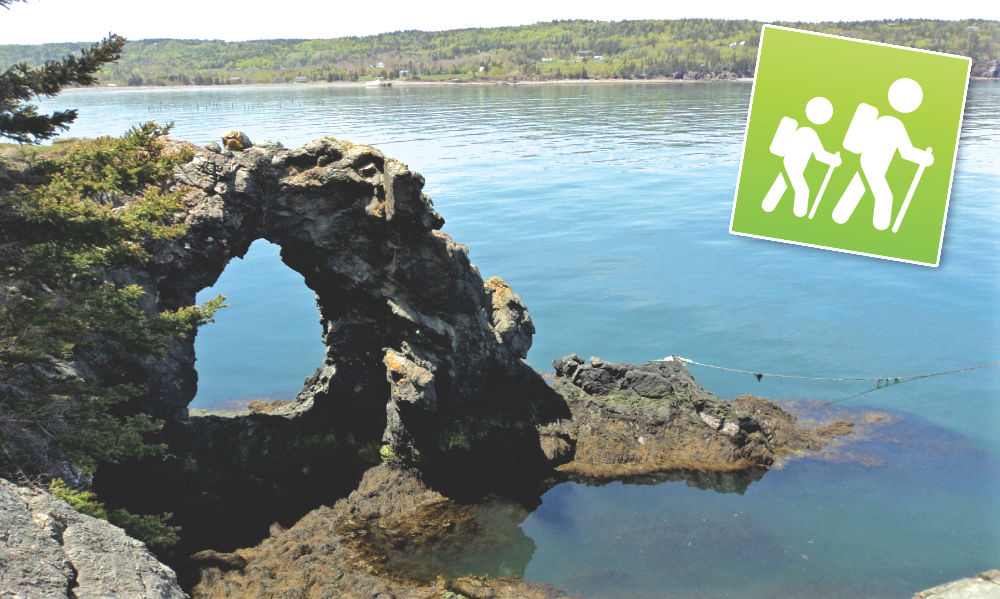
Enjoy a visit to the Hole in the Wall (HITW) and the observation areas along the Red Trail (red markings on stones and trees).
We share the beauty of the ocean from the natural terrain of the coastal cliffs.
![Village of Grand Manan, New Brunswick [logo]](https://grandmanancamping.com/wp-content/uploads/2026/06/Logo-Grand-Maman-colour-on-blue_800px-1.png)
![Dutchmen Contracting [wordmark]](https://grandmanancamping.com/wp-content/uploads/2026/06/Dutchmen-Contracting-wordmark_800px.png)
![North Head Campground & Park [logo]](https://grandmanancamping.com/wp-content/uploads/2026/06/NHCP-Masthead_800px.png)
Directions
Get directions for maps and more information at North Head Campground & Park, 42 Old Airport Road, about 1 km from the ferry
- Upon disembarking the ferry, turn right at the stop sign on Route 776.
- Turn left on Old Airport Road following the North Head Campground & Park signs.
- Continue to the Park Reception Area.
Grand Manan and the Bay of Fundy are pristine eco-systems. Garbage cans and recycling bins are in the Reception Area and HITW parking lot.
- Washrooms and potable water are available at the Reception Area.
- Secure footwear is required.
- Children must be closely supervised.
- Pets must be always leashed.
- Washrooms and drinking water are available.


Park Trail System
- Approximate time rather than distance is used as a general guide.
A. Hole in the Wall (HITW) Trail Head Parking
- This is the beginning point.
B. Hole In the Wall (HITW)
- Follow the signs indicating the path north through the wooded area toward the Bay of Fundy.
- At the Bay, turn left and walk 2 minutes to the rock arch with its central hole framed by impressive cliffs.
- To return, retrace the path to parking area.
- Hiking time: A > B > A is 30+ minutes.
C. Fish Head Observation Area
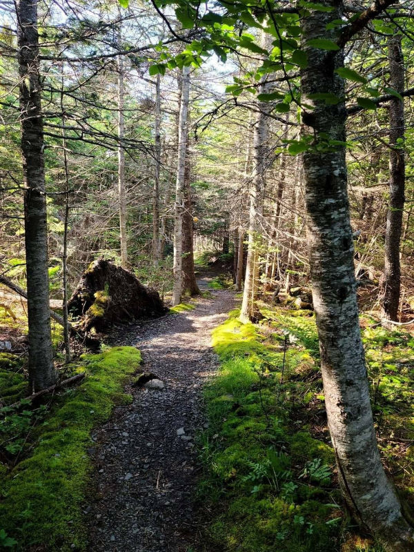
- After viewing the Hole-in-the-Wall, an alternative to enjoy more ocean views, keep the Bay on the left and follow the Red Trail for about 20 minutes to the Fish Head Observation Area.
- The area is named after its distinctive rock formations; great photo opportunity.
- Refer to the map for directions to the parking lot or retrace the hike.
- Hiking time: A > B > C > A is 60+ minutes.
D. Bull’s Eddy Observation Area
- Follow the Red Trail with the Bay on your left for about 15 minutes to the Bull’s Eddy Observation Area. Swallowtail Lighthouse appears in the distance. Refer to the map for directions to the parking lot or retrace the hike.
- Hiking time: A > B > C > D > A is 90+ minutes.
E. Swallowtail Lighthouse
- This well-known New Brunswick landmark is the highlight of the Island. Hiking south-east along the Red Trail, stunning views with glimpses of the Swallowtail Lighthouse and side paths lead to locations to observe more marine life.
- The Red Trail finishes at the paved Swallowtail Lighthouse Road. A left turn leads (east) to the Lighthouse in its impressive location or turn right (west) to Old Airport Road and the Park Entrance, or into the village.
- Hiking time: D > E is 60+ minutes
Hole in the Wall to Swallowtail Lighthouse is approximately a 2-hour hike, one way. The lengthy trail can be broken into sections for a less strenuous but equally enjoyable hike.

©2016 HeckticTravels.com | A division of Hecktic Media Inc.
Visitors to the Park, Hole in the Wall, and Red Trail acknowledge inherent risks associated with these areas. Trail conditions may vary due to weather. The owners assume no liability for injuries or accidents sustained by visitors.